

Raleigh-Durham is becoming a serious center for the next generation of satellite imagery.
The region’s universities, startups, and engineering companies are working on technology that could make Earth observation faster, more reliable, and more useful in everyday decisions: from monitoring energy infrastructure to responding to storms.
For homeowners, this progress is already practical. Satellite-powered tools can measure a roof, estimate replacement costs, and help people plan a major project without waiting days for a contractor visit.
The next wave of satellite technology could make those measurements even more frequent and reliable.
The 2026 satellite technology update from Durham
The most significant recent development is Extellis, a Durham-based startup founded from Duke University research.
In July 2026, Extellis announced that Shell Ventures joined its seed round. The company has raised more than $7 million when combined with earlier investment and non-dilutive funding, including support connected to DARPA and Duke Capital Partners.
Its goal is to change how synthetic aperture radar, or SAR, satellites collect images.
What is SAR?
Traditional satellite cameras generally use visible or infrared light. That creates limitations:
- Clouds can block the view.
- Darkness prevents normal photography.
- Smoke, storms, and poor weather can create coverage gaps.
SAR uses radar signals instead. The satellite sends signals toward the ground and measures the returning reflections. Because radar does not depend on sunlight, SAR can capture imagery at night and in many cloudy conditions.
A simple comparison:
- Optical imagery: Similar to taking a photograph with a camera.
- SAR imagery: Similar to using radar to map the shape and surface of an area, even when a normal camera cannot see clearly.
That makes SAR valuable for agriculture, shipping, disaster response, pipeline monitoring, and infrastructure management.
Extellis is using metamaterials to increase capacity
The key Extellis innovation is its metasurface antenna.
Metamaterials are engineered structures designed to control electromagnetic waves in ways that ordinary materials cannot. In Extellis’ system, the antenna is designed to steer radar beams electronically across wide areas without relying on a large, mechanically moving dish.
In practical terms, that can mean:
- A lighter satellite payload
- Lower power requirements
- Faster beam steering
- Lower manufacturing costs
- More images collected per satellite
Current SAR systems may capture hundreds of images per day. Extellis says its technology is designed to collect up to 10,000 images per day.
That is not a minor improvement. It could make satellite imagery a high-volume service rather than an occasional, expensive resource.
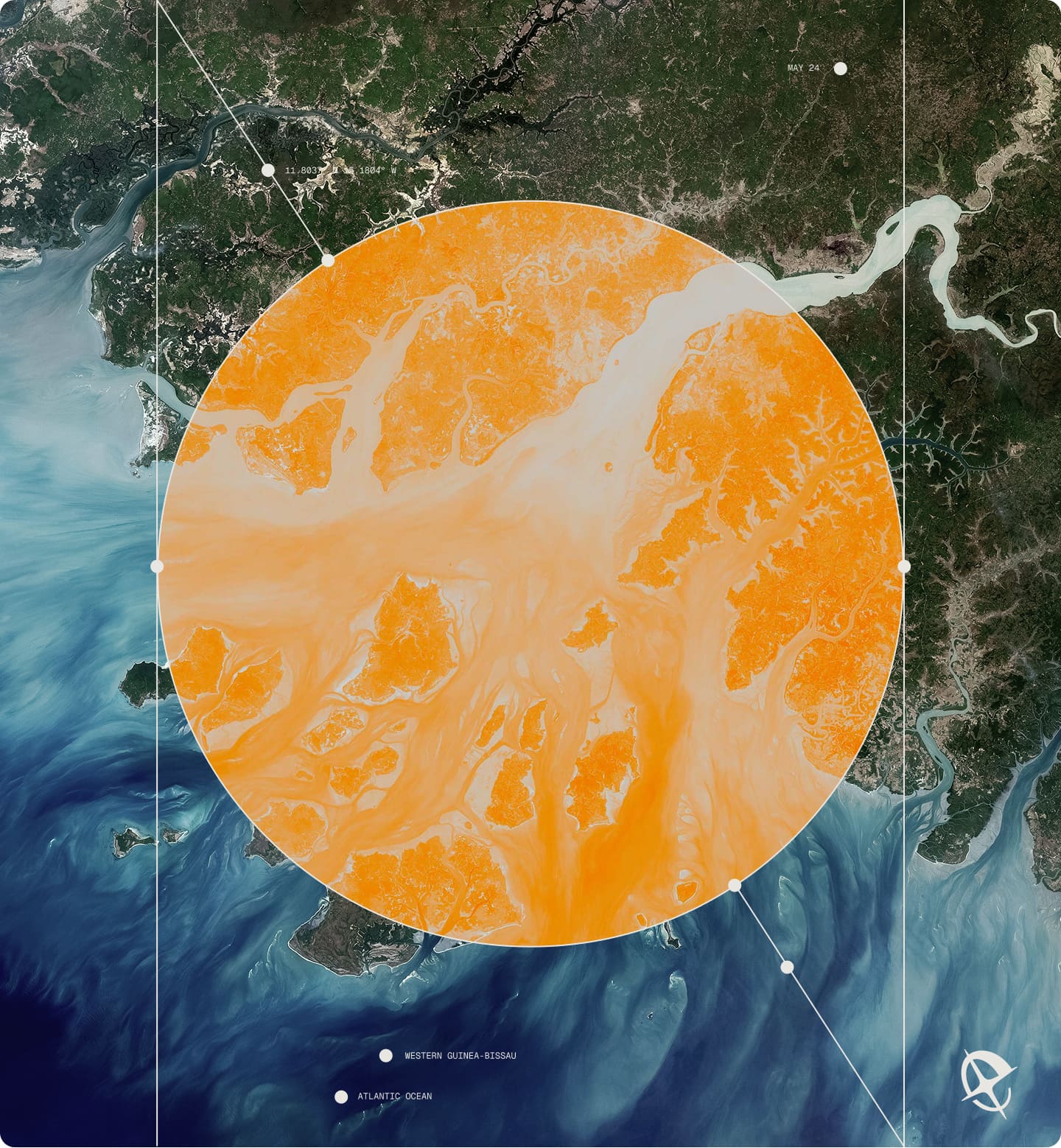
The Pathfinder mission is the next test
Extellis is developing its first orbital demonstration, known as the Pathfinder mission.
The mission is expected to test the antenna technology in space and establish the systems needed for commercial satellite imagery. Based on the company’s current development timeline, the satellite is expected to launch by the end of 2027.
That mission matters because laboratory performance is only the first step. The company must also demonstrate that its system can:
- Operate reliably in orbit.
- Capture useful images at scale.
- Transfer data efficiently to ground stations.
- Deliver consistent coverage to commercial customers.
- Support time-sensitive applications.
If successful, the Pathfinder mission could help move high-frequency SAR from a specialized government and industrial tool into a more broadly available data service.
Extellis identifies potential applications in:
- Precision agriculture
- Energy infrastructure monitoring
- Disaster response
- Shipping and logistics
- Pipeline and utility management
- Insurance monitoring
- Route planning
The company’s technical approach explains how its antenna is designed to provide all-weather, day-and-night visibility at industrial scale.
NC State and Axiro are advancing satellite connectivity
Extellis is not the only Triangle-area effort worth watching.
Researchers at NC State’s Integrated Communication and Sensing Lab are collaborating with Axiro Semiconductor on next-generation phased-array systems and integrated sensing and communications, or ISAC.
A phased array uses multiple small antenna elements working together. By coordinating those elements electronically, the system can steer signals without physically moving the antenna.
ISAC takes the concept further by combining:
- Wireless communication
- Environmental sensing
- RF imaging
- Data transmission
Instead of using separate systems for communication and sensing, an ISAC platform can perform both functions through a shared architecture.
The NC State–Axiro work is focused on FR2 and FR3 frequency platforms relevant to advanced wireless networks, future 6G systems, and satellite communications. Their research also includes an AI-enabled digital twin framework capable of supporting sensing, wireless transmission, and RF imaging on the same testbed.
The practical implication is important: future satellite networks may not only transmit data. They may also sense conditions, interpret environments, and adapt their communications in real time.
Read the NC State and Axiro collaboration announcement for additional technical details.

What this means for homeowners in Raleigh
Most homeowners do not need to understand antenna design to benefit from satellite innovation.
The value is in the services built on top of it.
Today, satellite imagery roof analysis can help estimate:
- Roof area
- Roof sections and facets
- Approximate pitch
- Roof complexity
- Material quantities
- Replacement cost ranges
For a typical U.S. roof in 2026, replacement costs commonly fall between $9,000 and $22,000, although Raleigh pricing depends on roof size, material, pitch, labor, and project complexity. Larger or more complex homes can reach $25,000 or more.
Common material benchmarks include:
- Architectural shingles (Popular): Approximately $9,000–$13,000 for a 2,000-square-foot roof
- Metal roofing (Premium): Approximately $20,000–$28,000
- Roof coatings (Budget for suitable roofs): Approximately $6,000–$7,500
These are planning ranges, not final contractor bids.
Tools such as RoofVista report approximately 95%–98% area accuracy for many standard residential roof designs. However, accuracy can vary when trees, shadows, poor image quality, unusual rooflines, or additions block the roof surface.
Satellite measurement is not a complete roof inspection
This distinction is essential.
A satellite roof inspection: or more accurately, a satellite roof measurement: can help determine the roof’s geometry and replacement budget. It cannot confirm every physical condition on the property.
Satellite imagery generally cannot verify:
- Hidden decking damage
- Active leaks
- Flashing condition
- Attic ventilation
- Fastener installation
- Structural deterioration
- Interior water damage
- Building-code requirements
After a storm, Raleigh homeowners may use satellite measurement for an initial estimate, then arrange a drone or on-site inspection. Local providers such as StormSafe, Skybird, and Drone Studio NC offer aerial inspection services, but homeowners should ask what each inspection includes and whether a licensed roofing professional will verify the findings.
The strongest process combines three layers:
- Satellite measurement: Fast roof geometry and budget planning.
- Drone imagery: Close-range documentation of visible surfaces.
- On-site inspection: Confirmation of damage, leaks, decking, flashing, and code requirements.

Get a satellite-powered roof estimate in 60 seconds
This is the same direction that guides Get My Roof Estimate Now.
Our service uses satellite imagery technology to measure a home’s roof and estimate replacement costs without requiring an upfront contractor visit. Homeowners enter their address and receive a free estimate in about 60 seconds.
The system evaluates:
- Roof size, measured in squares
- Pitch and slope
- Roof complexity
- Regional labor and material pricing
- Different roofing materials
- Low, middle, and high price ranges
The estimate is free, with no credit card required and no obligation to hire a contractor.
You can start a free satellite-powered roof estimate or review the 2026 roof cost calculator before speaking with local professionals.
The future of roof inspection is layered technology
Raleigh-Durham’s satellite industry shows where the broader market is heading.
Extellis is working to make radar imagery more frequent and dependable. NC State and Axiro are developing systems that combine communication and sensing. Roofing platforms are already using satellite data to measure homes and produce fast replacement estimates.
The future of roof inspection will not depend on one technology alone.
It will combine:
- High-volume satellite imagery
- AI-based roof analysis
- Drone documentation
- Local weather and storm data
- Professional human verification
For homeowners, the result should be simple: better information, faster decisions, and fewer surprises before a roof project begins.

Sources and further reading
- Extellis: Satellite imagery at industrial scale
- Extellis’ July 2026 Shell Ventures investment announcement
- Extellis’ metasurface antenna approach
- Duke University: Duke-Invented Satellite Tech Moving Closer from Lab to Orbit
- NC State and Axiro phased-array and ISAC research
- Free satellite roof estimate from Get My Roof Estimate Now